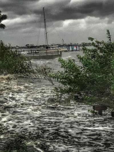
The City of Holly Hill is situated on the west bank of the Halifax River in Volusia County and is 4.5 square miles. Flooding in the community can result from tidal surges associated with hurricanes, northeasters, tropical storm activity and from overflow of streams associated with rainfall runoff. Major rainfall events occur from hurricanes, tropical storms, and thundershowers associated with frontal systems. The main flooding sources are from the north and south B-27 Canal, the Halifax River, the LPGA Canal, and the Nova Canal North.
The most current Flood Insurance Rate Maps are dated 02/19/14 and 09/29/17. There are currently 3 designated flood zones in the city X, A, and AE.
Since 1973 the City of Holly Hill has been a participating community in the National Flood Insurance Program (NFIP), a federal program that was enacted in 1968 to make flood insurance available to communities that maintain floodplain management regulations. The city is also a participant in the Community Rating System (CRS) a voluntary incentive program that recognizes and encourages community floodplain management activities that exceed the minimum NFIP requirements. Holly Hill homeowners and renters are paying less for flood insurance. Holly Hill’s current CRS class rating is a 6 which can afford Special Flood Hazard Area policy holders a 20% discount and X zone policy holders a 10% discount on flood insurance premiums. The average savings on a flood insurance policy in a Special Flood Hazard Area is $236 per policy per year.
For more information regarding floodplain information please call 386-248-9442.
Current Weather Conditions
https://forecast.weather.gov/MapClick.php?lat=29.245020000000067&lon=-8…
Flood Smart:
Volusia County Wide Interactive Flood Map Viewer:
Flood Basics:
https://www.volusia.org/services/public-protection/emergency-management/types-of-disasters/floods/
Real-Time Water Levels:
https://waterdata.usgs.gov/nwis/uv/?site_no=02247510
